
Mobile apps, web tools and AI integrations
Watch & Navy specialises in navigation, transport and connected-device software. Our products include applications for Android, iOS and Wear OS, browser-based utilities, REST APIs and MCP servers for developers and AI assistants.
What's New
All announcements →The latest articles can't be shown right now.
Navigation, transport and utility apps
For Android, iOS and Wear OS. On your phone and on your wrist.
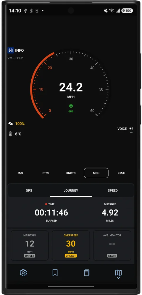
Velocity GPS Dashboard
GPS dashboard for road users
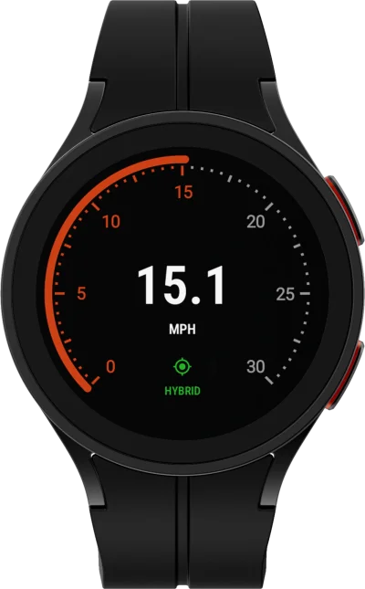
Available for Android and Wear OS
Record every road journey with precision. Velocity logs your routes, tracks speed, and helps you monitor driving and cycling performance.
Wear OSTrack your bike rides and record every journey from your wrist. Velocity logs routes, monitors speed, and helps you optimise cycling performance.
Learn more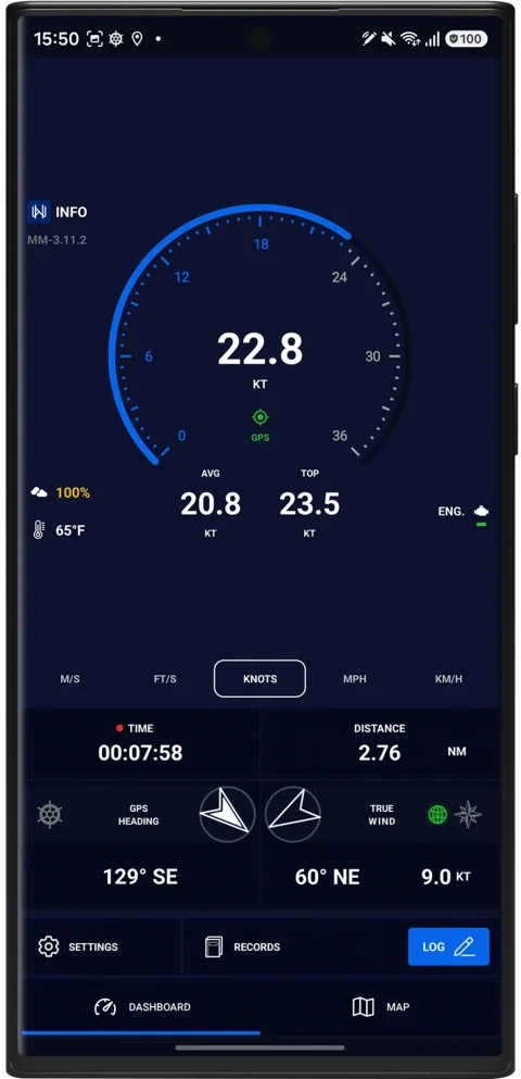
Mariner GPS Dashboard
GPS dashboard for sailors and boaters
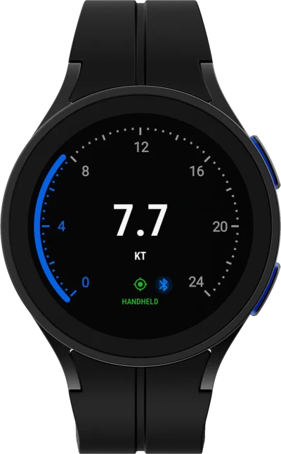
Available for Android and Wear OS
Log every voyage automatically. Mariner records your journeys, displays GPS/NMEA navigation data, and automates your boating logbook for both sail and motor vessels.
Wear OSTrack your voyages and record every journey from your wrist. Mariner provides real-time speed, heading, and trip data, giving you a hands-free display for sailing and boating.
Learn more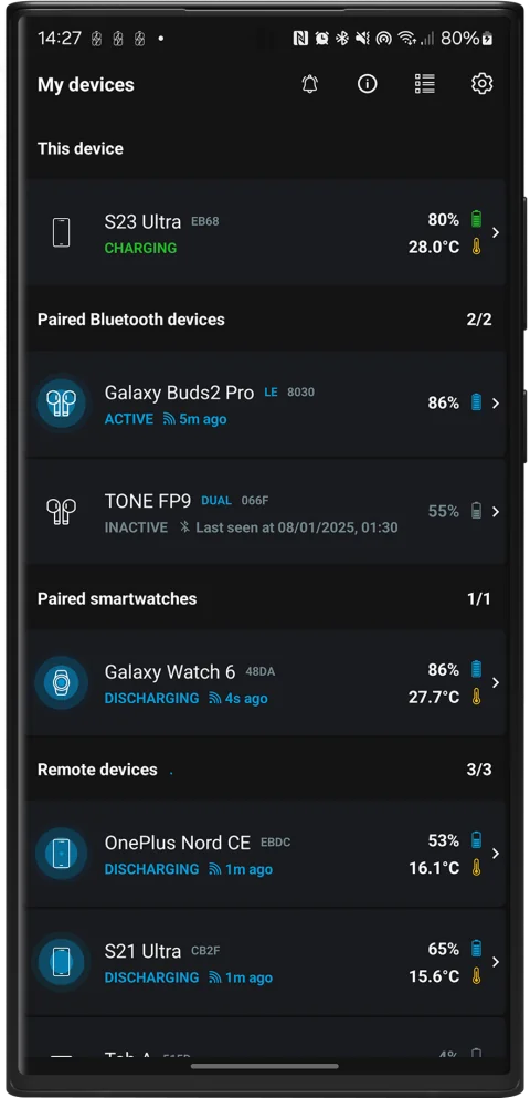
Energy Monitor
Battery monitor for your smart devices
Available for Android and Wear OS
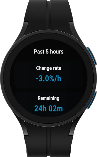
Monitor your smart devices in one place. Energy Monitor uses AI to analyse battery trends, predict battery life, and provide smart insights for phones, watches, tablets, and compatible Bluetooth devices.
Wear OSStay on top of battery performance without draining it. Energy Monitor is a lightweight and efficient battery monitor. Set custom alerts, analyse trends with AI, and more.
Learn more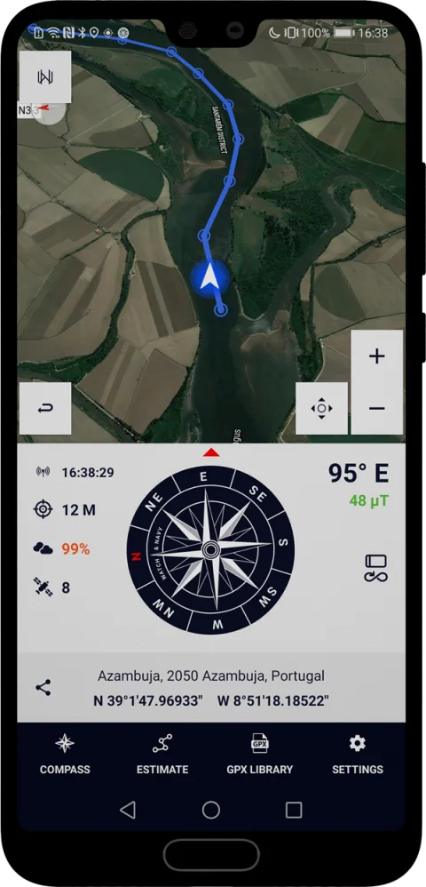
Wayfarer GPX
Route planner for any mode of travel
Available for Android
Measure distances and plan new routes with precision. Wayfarer GPX lets you create, edit, and estimate travel times for GPX routes across road, air, and marine travel.
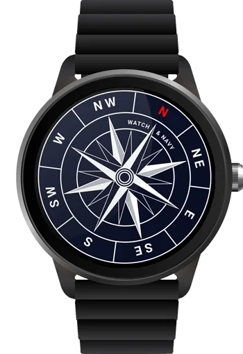
Learn moreAlso: Wayfarer Compass for Wear OS
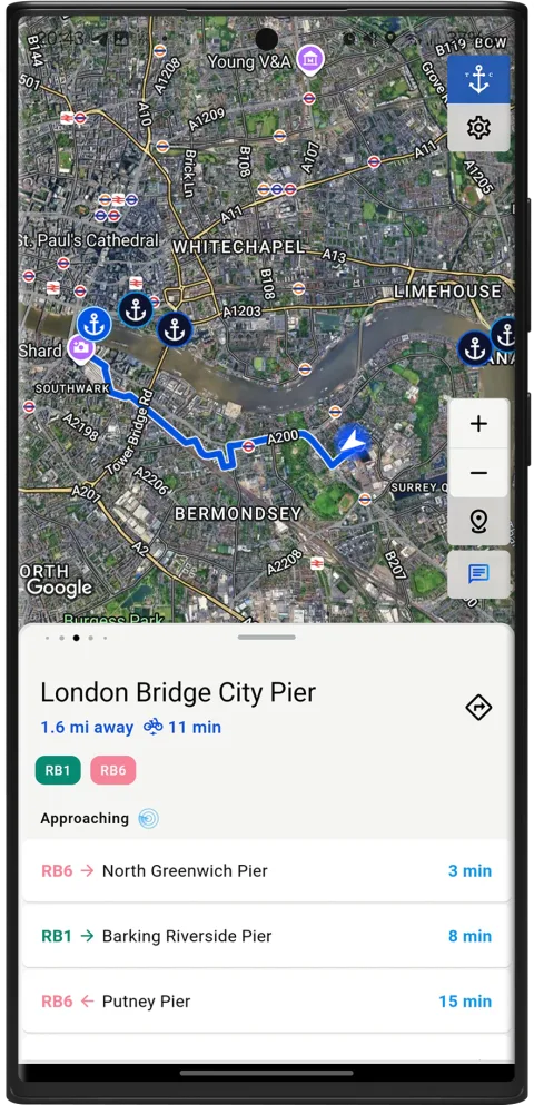
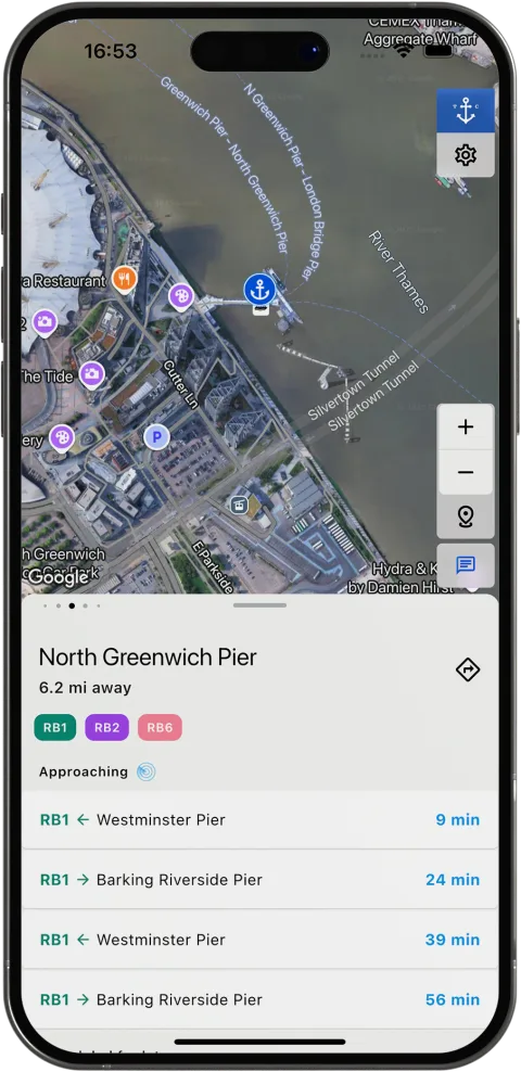
Thames Commuter
River app for Thames commuters and boaters
Available for Android and iOS
What’s on the river, right where you are. Open Thames Commuter to see the piers, boats and crossings nearest you, the next departures, and anything affecting the Thames today.
Learn more


Web tools, API and MCP
Free calculators and converters in your browser, built on the same engines as our apps and open to developers through a REST API and to AI assistants through MCP.
- Mariner GPS ToolsFree marine and GPS calculators: distances, bearings, coordinates, cross-track error and route planning.Web toolsREST APIMCP servermarinergps.tools
- Road User ToolsFree road, vehicle and journey calculators: fuel economy, fuel cost, journey time, tyre pressure and more.Web toolsREST APIMCP serverroaduser.tools
- Wayfarer GPX ToolsConvert, validate and simplify GPX, KML, KMZ, GeoJSON and RTZ files with the engine behind Wayfarer GPX.Web toolsREST APIMCP serverComing soon
- Thames Commuter DirectoryEvery pier, boat and timetable on the Thames, with live service information.Web directorythamescommuter.directory




Blog
All articles →The latest articles can't be shown right now.


